All the rivers we have followed have massive stop-banks which in theory will catch the floodwaters, except that the lines etched on to some of the buildings or banks, with crucial dates, tell the stories of the ones that got away.
 |
| More recent floods |
The stop banks (digue in French, Deich in German) sometimes have the cycle path on the top, sometimes on the near side to the river, sometimes on the other side, sometimes on both or none at all, where the cycle path does its own thing, unrelated to the stopbanks. It is great to have the choice, in wind, rain or cold, of being on the top, from where you have a view, or being in the shelter 3-5 metres below. And it is great, if the rain is cold and steady, or if the sun is hot, to have a shady forest path to either shelter in or have some blessed coolness.


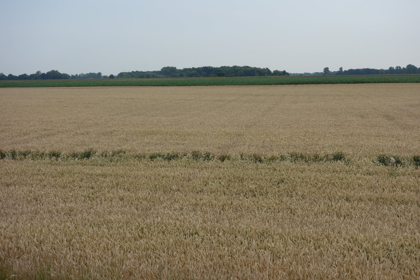
The views from the Deichs were largely of agriculture or forest, with the river being close or not-so-close over the journey. The former DDR, through which we passed for most of the 1100 or so km, still has enormous fields of crops (mainly wheat, barley, maize, beet, colza), as far as the eye can see at times, formerly tended to by the collective (after the large estates were broken up) but now in the hands of groups of families, according to people we spoke to. They said that the huge combined harvesters and other agricultural machinery are hired as needed so that they don’t have the capital cost.
Unlike NZ, with farm-houses every couple of kilometres apart, here it is villages that distance apart, with the animals housed in barns beside the houses and the crops grown on the land between the villages.
Further north, where the Elbe formed part of the border between East and West Germany this pattern is slightly different but in the main, it was the vast fields of one crop or another that really impressed us. Sometimes we would see animals outside, especially cows but also sheep grazing the sides of the stop banks, with electric fences shifted as required. However, the number of animals in barns has to be enormous. We didn’t see any pigs or chickens and we know that both these animals have to be housed somewhere, as there is a lot of pork, poultry and eggs eaten on a daily basis. The 80-year old who invited us home in Heubsh told us he had 13,000 chickens, down from the 30,000 he previously had. They give 12,000 eggs a day.
What happened along the stretch of the Elbe that formed the boundary between East and West Germany, was that the Soviets cleared the border area for 5 kilometres (on their side), demolishing all in their path except for the buildings they wished to use and giving access only to a very limited number of people. 25 years after reunification there are now some newish houses and buildings, along with some that clearly were useful during the time of occupation but there is no real infrastructure of villages, so you can’t buy a beer, coffee and cakes or groceries for kilometres at a time, maybe 20km, maybe more, without leaving the path for a few kilometres. There are also some trees and bushes that have grown since 1990 but it is a bare-ish sort of landscape all the same - there are several places where you can climb a former watchtower and get a 360º view of the lie of the land. Virtually none of the paraphernalia associated with the former borders remains, the watchtowers are there as a small reminder but they have been changed into viewing platforms. There may still be mines in the area, as it was heavily mined but we didn’t see any warning notices - just read about what had been there.
 |
| Memorial to those who died trying to cross the border here |
 |
Line shows former Soviet Union border and inner German border
- the Elbe was part of this for a 95km section |
 |
| View from old watchtower - bike path on the stop bank |
 |
| View in the other direction from same watchtower |
 |
| Two houses along the Elbe that maybe the Soviets used |
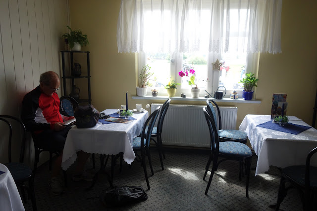 |
| A rare eating place along the old inner German border. Delicious goulash soup! |


No comments:
Post a Comment