|
| The Elbe at Bad Schandau, 14 July |
The Elbe River starts in the Czech Republic and flows out into the North Sea. Our intention was to follow it down from Prague but due to time constraints we decided to start 6km on the German side of the Czech border, at an old spa town called Bad Schandau.
 |
| Dresden - waiting for the train to Bad Schandau |
There is a National Park and an abundance of beautiful places to hike, bike or explore beyond where we started, including Prague, but we didn’t feel we had the time to do this, and we were right. Cuxhaven, on the North Sea, is a long way from there and France, with bikes, even using public transport, is a long way from Cuxhaven. Bad Schandau, as an ‘old' Spa town, has a lot in common with other spa towns we have visited, especially in France. We briefly explored it and checked out their coffee and cakes before launching ourselves on an 1100km journey of exploration.
 |
| Bad Schandau main street |
 |
| Oh yes! |
 |
| En route! |
 |
| First morning downstream - Königstein |
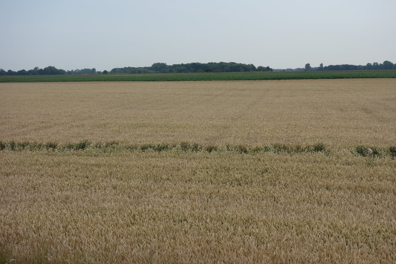
The direction of the descending Elbe is mostly north-west, and coming down river you are mostly into a head-wind. However, cycle-tourists coming up-river because of the wind supposedly being a tail-wind didn’t seem very impressed by their experience. We certainly struggled with the wind and weather at times. Once, for a period of about three or more days, we wore five layers of clothing to combat the 10º temperature with a strongish headwind and intermittent rain.
 |
| Bikes and Rodney in rain gear at former border post in the north |
Several times, after we had already pitched the tent, torrential rain fell for an hour or so. On the hard, dry ground, small puddles appeared, growing into larger and larger puddles. After the first one, we quickly removed anything off the ground-sheet part of our tent to the built-in floor part and all stayed dry. The largest of the puddles had dried up after an hour or two and all was well. Even if it rained during the night we were able to keep everything dry, as we have a massive plastic tarp that we can wrap around everything. We also carried waterproofing tent spray with us, which we did use on a couple of occasions.
 |
| Our very useful plastic tarp can be seen here |
 |
| The previous night this was all huge puddles after a downpour |
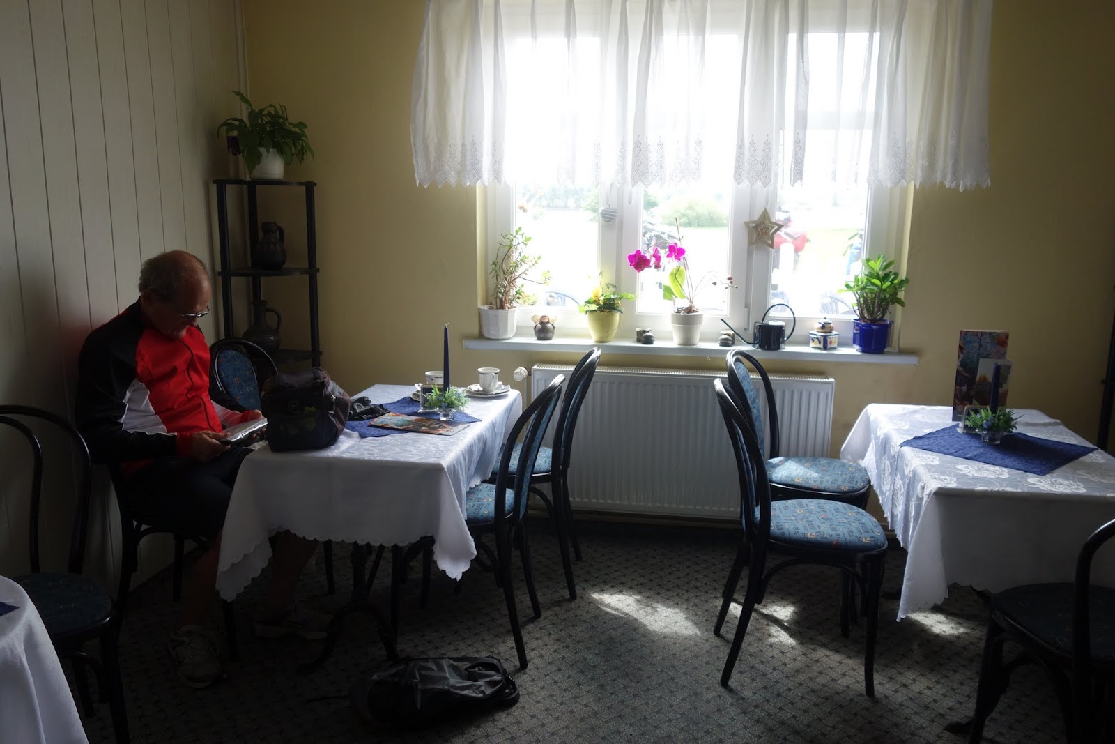
Better than camping grounds for us are the Kanu Clubs which offer accommodation. Not all but a number of watersports clubs offer space for tents on their riverside grounds. Since they already have showers, toilets and lots of boat-storage space, plus often some bunkrooms for canoeists and kayakers coming down river, it seems an excellent idea to get extra revenue for the club by welcoming cyclists as well. Usually 5-10 euros per night. For us the bonus is that the sites are small, not overcrowded with families, swimming pools, bouncy castles or mini-golf - and in addition they often have covered spaces where you can boil a jug, microwave something, sit, use a computer, watch the rain…all the things that aren’t possible in a basic camping ground, which in Europe don’t usually have kitchens, games rooms or common rooms as we expect in NZ. An extra bonus is that most of them sell beer on an honesty box system at a little above supermarket prices. Some even had a restaurant attached and sold meals at a modest price, probably less than we would have paid for the ingredients. When the weather was wet, even if we slept in the tent we could leave our cycles and panniers under cover. Our best bonus was in Magdeburg, where we were able to rent a large chalet-style room for an extra €10.00 a night, i.e. €20.00 all up. We stayed there 2 nights and it felt like much longer!! Able to have a day off, charge all our electronics, do some washing, do some writing but unfortunately, even with all this luxury, still no wifi for the blog. I can write using Evernote but I need the internet for photos and ‘publishing’ each post.

 |
| Our €20.00 cabin |
 |
| Roof, table, fridge, microwave, jug...and honesty-box beer |